Java Map Editor - Gallery 8
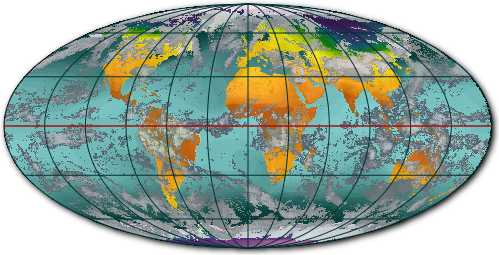
This map consists of four layers: a background graticule layer with a drop shadow, a satellite image of the Earth's surface, a weather satellite image with 80% opacity and a graticule layer providing the grid lines. The images were in Plate Carée projection and have been warped into a Mollewide projection.