Java Map Editor - Gallery 1
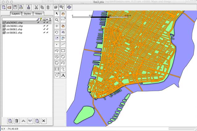
Here's a screen shot of the map viewer displaying four layers of Shapefiles containing TIGER Census data for the southern tip of Manhattan. Each layer was imported separately and a style created for it in order to provide the colouring. The map viewer will import Shapefile attributes from the accompaning DBF file if it exists, allowing you to create a theme for colouring features.